Fuel Monitoring
Prevents unauthorized fuel removal, reducing costs and boosting revenue.
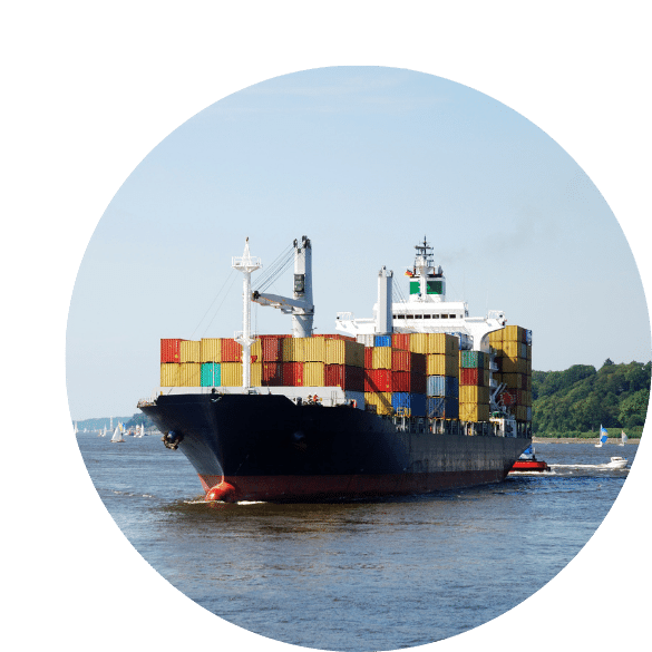
Monitor fuel consumption and GPS location for sea and river vessels including ships, boats and dredges. Reduce operational expenses by minimizing engine idling, preventing fuel theft and improving crew accountability — built on Technoton telematics with DFM / DFM Marine flow meters, fuel level sensors and a CANUp gateway feeding the ORF4 web service.
Prevents unauthorized fuel removal, reducing costs and boosting revenue.
Track fuel tank levels via installed sensors for full accountability.
Reduce future maintenance expenditures with early diagnostics.
Real-time vessel position visibility on the map at all times.
Address rising fuel costs through robust theft prevention.
Expert technician deployment with a live demo after installation.
Fuel Monitoring tracks tank levels, hourly consumption rates, fuel temperature and consumption across idle, optimal and overload modes — including negative flow-meter operation.
Records engine operating hours across work modes, coolant temperature, oil pressure and current operation status based on fuel-consumption metrics.

Marine-grade GPS terminals, fuel sensors and engine interfaces are installed on each boat, barge or ship — sealed against water, vibration and the conditions of life at sea and on rivers.
The system continuously logs position, speed, heading, engine hours, coolant temperature, oil pressure and fuel consumption, and transmits it to shore over cellular or satellite links.
Your operations team sees every vessel on the map in real time. Alerts fire instantly on route deviation, unusual fuel drops, engine anomalies or entry into restricted waters.
Voyage, fuel and engine reports show exactly how each vessel performs, so you can cut waste, plan maintenance in port and make charter and scheduling decisions on real numbers.
Fuel is the largest cost of running a vessel. Consumption monitoring exposes waste, inefficient running modes and fuel theft, cutting your biggest operating expense.
Sudden fuel-level drops and unauthorized voyages trigger immediate alerts, ending the losses that quietly drain marine operators year after year.
Know where every vessel is at sea, on the river or in port — reassuring customers, supporting insurance claims and speeding response when something goes wrong.
Live engine-hour, temperature and oil-pressure data lets you service engines by condition, avoiding breakdowns mid-voyage and extending the life of expensive machinery.
Geofenced waterways, speed alerts and constant tracking reduce the risk of incidents — protecting people, cargo and your company's standing with charterers.
Complete voyage and engine logs give you defensible records for port authorities, insurers and clients, and settle disputes over delays or fuel charges quickly.
Talk to our team about marine fuel and location monitoring.